|
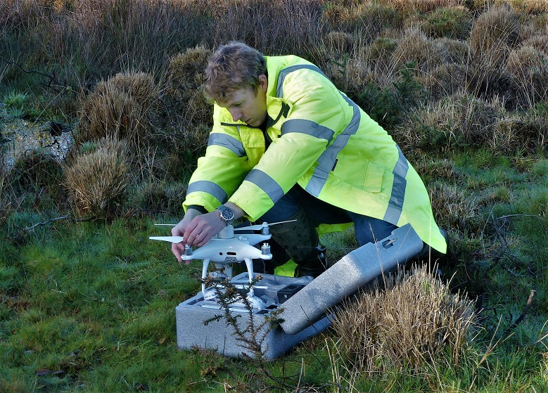
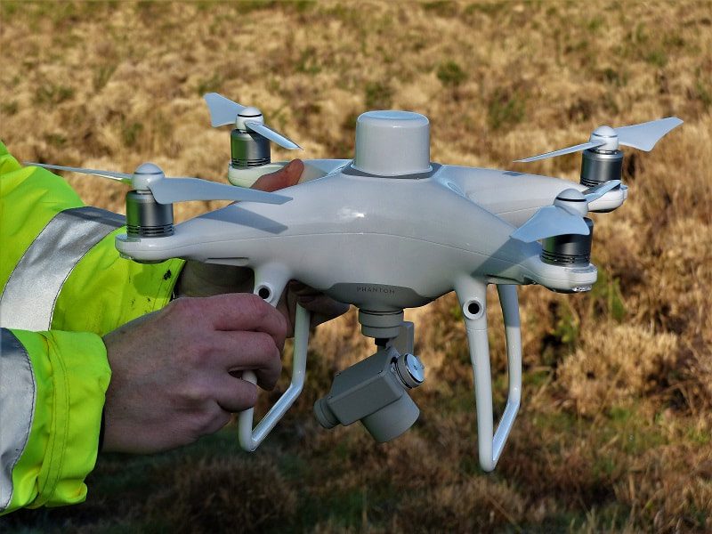
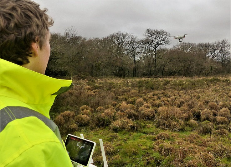
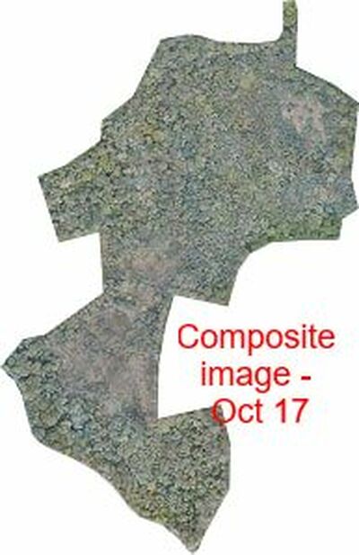
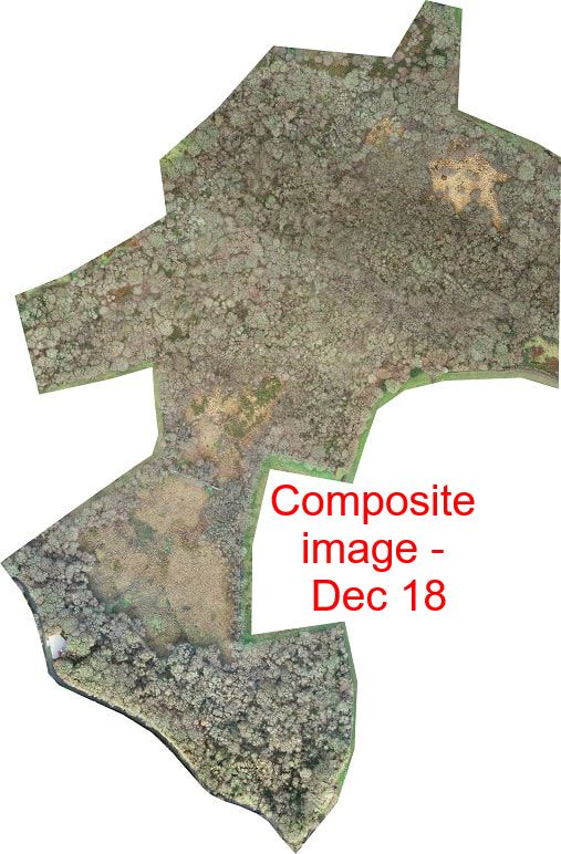
In December 2018 a drone flew over Chark Moor so that we can monitor the effects of our scrub management work on the site. The drone flies a pre-determined grid pattern at a set altitude and takes over one hundred downward photographs. These are then 'stitched together' using special software to create a detailed composite image with a resolution of about 1 metre.
Matched to drone pictures that we took in 2016, we can monitor how all of Chark Moor is changing with time and as a result of Gaia's careful Stewardship
2 Comments
Telkom Jakarta
22/1/2024 02:49:29 pm
using special software to create a detailed composite image with a resolution of about 1 metre? <a href="https://telkomuniversity.ac.id/pererat-kerjasama-universitas-majalengka-kunjungi-telkom-university/">Telkom University</a>
Reply
Leave a Reply. |
The Gaia TrustNews and events from the Gaia Trust properties. Archives
April 2023
Categories |

